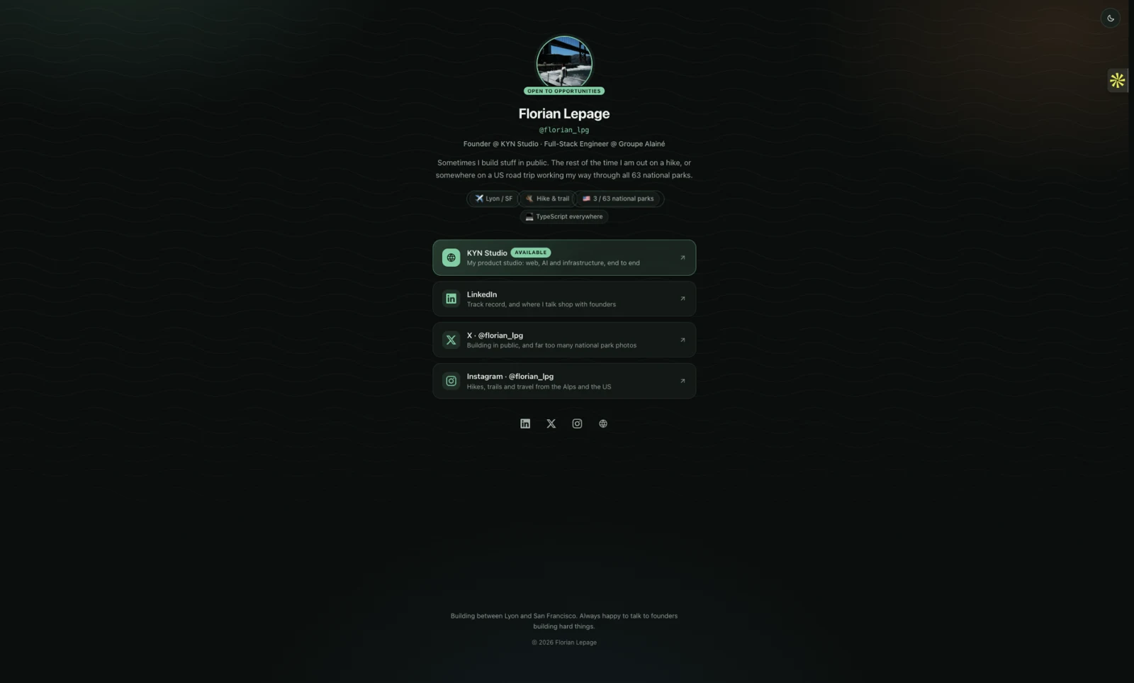
FlorianLepage Links
A lightweight personal hub for Florian Lepage, connecting professional work with life outdoors. A simple page of links opens into recorded hikes, 3D terrain, travel maps and photographs from the trail.
Visit live siteA link-in-bio with a sense of place.
Personal project by Florian Lepage
Built for Florian’s own online presence, this project brings KYN Studio, professional profiles and outdoor interests into one coherent experience. It is a personal product, not a commissioned client engagement.
The outcome is a working personal hub with deliberately separated layers, not a claim about traffic or conversion.
A list of links tells you where to go. It rarely tells you who is behind it.
The brief was to make one useful front door for professional work and personal interests, without turning a small link page into a heavy application. The first visit should stay simple; the richer stories should be there when someone chooses to explore.
Keep the front door light. Make exploration worth the click.
A static front page. A richer world on demand.
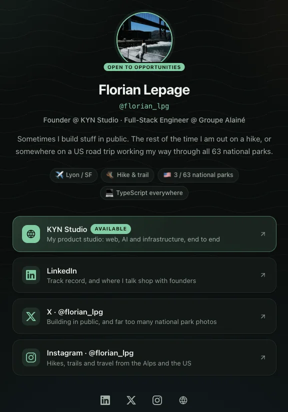
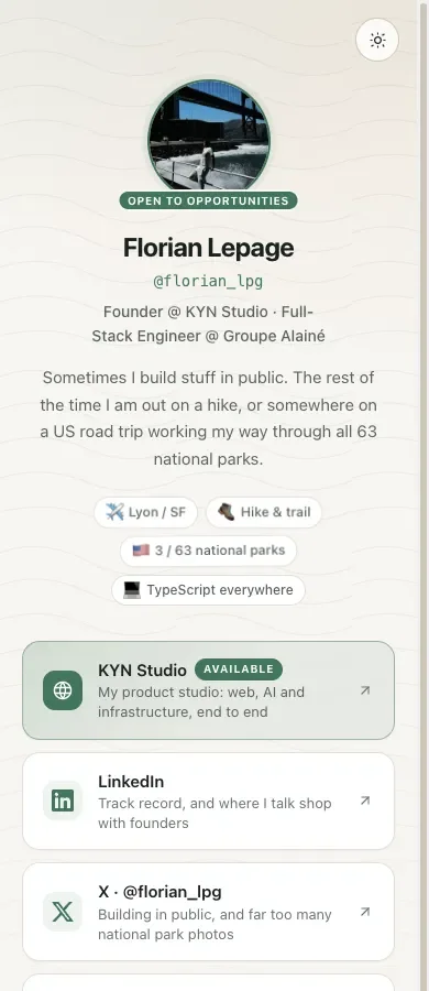
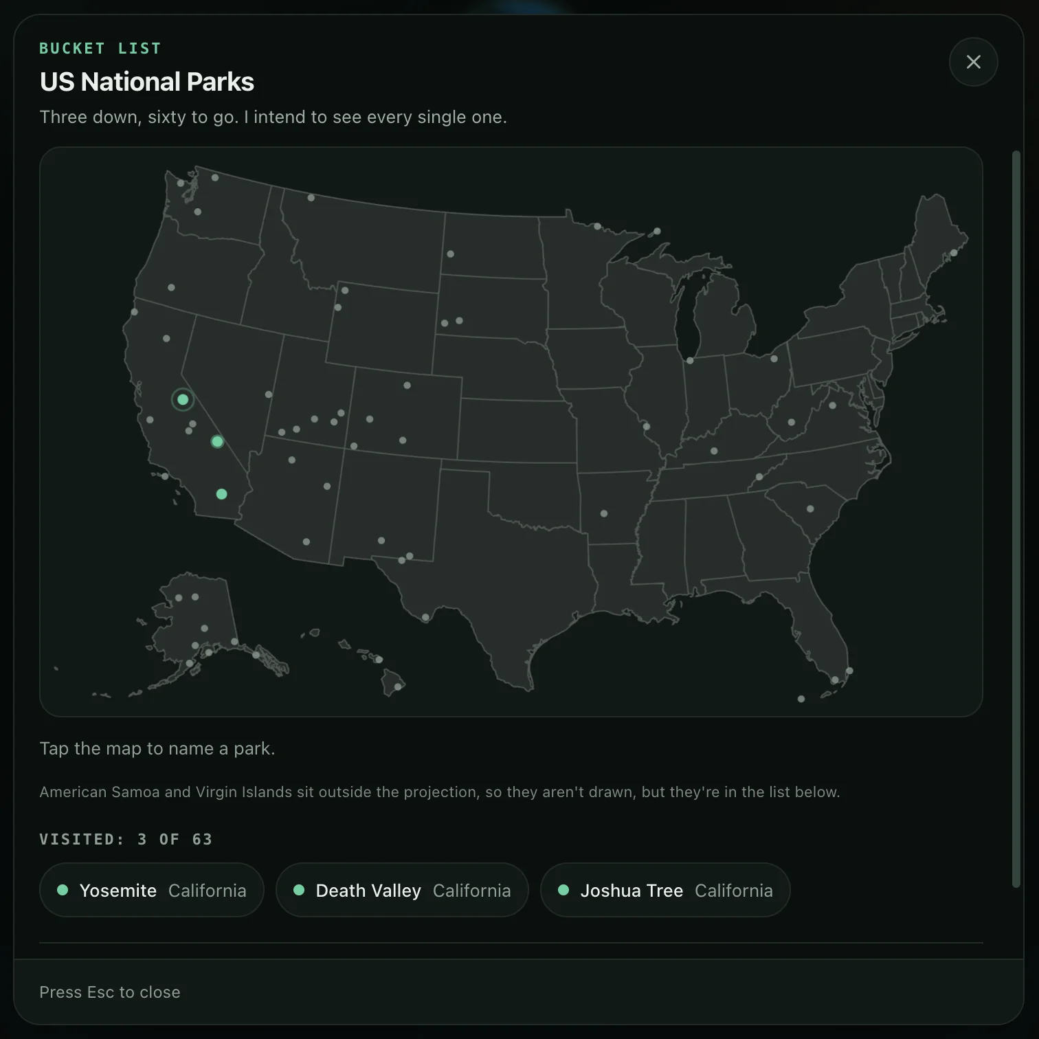
Astro renders a configuration-driven profile with clear link cards and an alpine visual identity. Three small badges reveal the deeper layers: a Lyon–San Francisco connection, a national-parks checklist and recorded hikes with map, satellite and 3D terrain views. Route statistics, elevation profiles and photographs turn those tracks into stories.
The personal hub
3 screens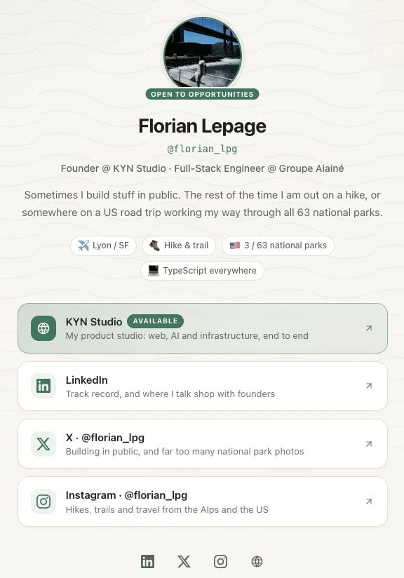
Hikes, terrain & photographs
4 screens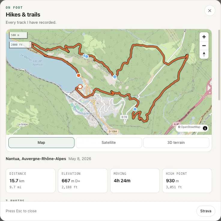
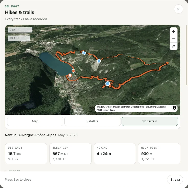
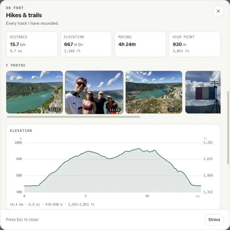
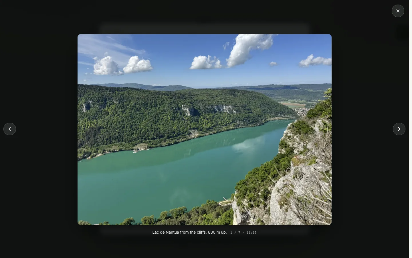
A sense of place
2 screens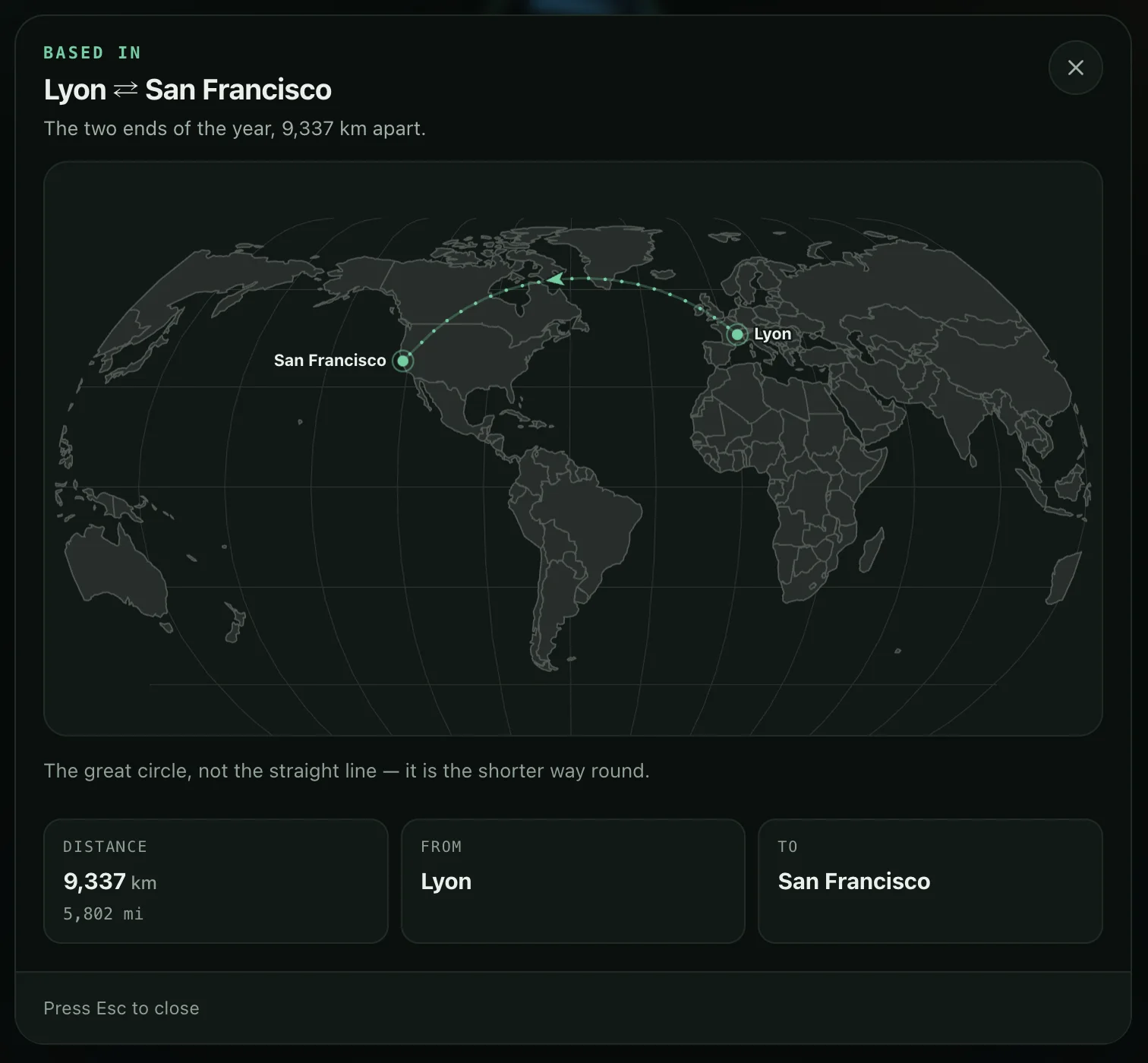
Small by default. Capable when you ask more of it.
Astro and TypeScript handle static rendering and validated content. Plain CSS drives the theme system. MapLibre powers the interactive hiking views, while projected SVG maps cover travel and national parks. The publishing pipeline targets static hosting on S3. Privacy-aware publishing defaults trim route endpoints; this is a safeguard, not a guarantee of anonymity.
Stack
Stack